Category: Urbanism

  • 10 Ways to Reduce Car Dependence in Ottawa

    10 Ways to Reduce Car Dependence in Ottawa

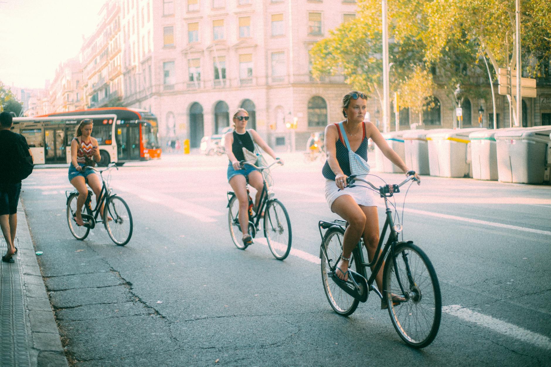
    three women biking on sunny urban street
    Photo by El gringo photo on Pexels.com

    By focusing on active mobility and becoming a transit-first city, Ottawa has enormous potential to shift away from car dependence by reorienting infrastructure, policy, and land use toward walking, cycling, and transit. Below are ten revolutionary interventions that could reshape how Ottawa moves—dramatically reducing car mode share and making sustainable options the default choice for most trips.

    1. Build a Complete, Citywide Protected Bike Grid

    What to do: Design and implement an all-season network of protected, separated bike lanes that connect every ward, prioritizing routes to schools, transit stations, and commercial corridors. This network should feature physically protected intersections, snow-cleared paths, and strong wayfinding.

    Why it works: Safety is the #1 reason people don’t bike. Where cities like Paris and Vancouver have installed citywide protected lanes, cycling mode share has doubled or tripled within a few years. Ottawa’s current fragmented bike infrastructure is great in places, but to shift trips out of cars, it needs to be safe, fast, and connected everywhere.

    2. Convert Key Arterials into “Transit-First” Complete Streets

    What to do: Redesign major corridors like Bank Street, Montreal Road, and Baseline Road with dedicated bus lanes, physically separated bike lanes, widened sidewalks, and traffic-calming measures. Limit private vehicle lanes and restrict curbside parking during peak hours.

    Why it works: Streets are public space—we’ve just been using them inefficiently. Giving transit and active transportation the majority of the road space increases throughput, reduces collisions, and shortens travel times for the majority of users. When done well, transit-first streets become vibrant, people-friendly destinations.

    3. Dramatically Increase BRT (Bus Rapid Transit) Infrastructure

    What to do: Build out a network of fully separated, signal-prioritized BRT lines with all-door boarding and off-board payment—especially in areas not served by rail. Treat BRT as “surface rail”: fast, frequent, and reliable.

    Why it works: BRT is faster and cheaper to deploy than rail and offers rail-like service when properly implemented. Ottawa pioneered this with the Transitway; expanding and upgrading this system would deliver immediate reliability and speed gains without the delays of rail construction.

    4. Eliminate Minimum Parking Requirements Across the City

    What to do: Remove minimum parking mandates for all new development citywide, including in suburban zones. Encourage shared parking, unbundled parking leases, and redeployment of existing lots for better land uses like housing or mobility hubs.

    Why it works: Parking minimums incentivize car ownership and sprawl. Dropping these mandates cuts building costs, discourages car ownership, and frees up land for walkable development. Cities like Buffalo and Minneapolis have seen a measurable decline in car use and housing costs after making this change.

    5. Create a High-Frequency “Transit Spine” Grid

    What to do: Develop a grid of ultra-frequent (5–10 min) bus and train routes that serve as the backbone of the city’s transit system. These should be easy to navigate, reliably fast, and run all day—including evenings and weekends.

    Why it works: Most trips don’t go downtown anymore. A high-frequency grid simplifies trip planning, reduces transfer penalties, and makes transit work for trips across town. Transit agencies from Houston to Barcelona have seen ridership surge after adopting this approach.

    6. Establish 15-Minute Neighbourhood Zoning Across Urban Wards

    What to do: Reform zoning to allow mixed-use, mid-rise development along every major street and near all transit stops. Enable corner stores, daycare, clinics, and housing in formerly single-use zones to support car-free lifestyles.

    Why it works: You can’t walk or bike to things that don’t exist nearby. Enabling small-scale mixed-use infill throughout the city cuts the need for car trips and supports active transportation. Cities like Portland and Paris are leveraging this model to reshape travel patterns toward walkability.

    7. Launch an Integrated, App-Based Mobility-as-a-Service (MaaS) Platform

    What to do: Develop a unified app that allows users to plan, book, and pay for trips combining OC Transpo, bike-share, e-scooters, carshare, and on-demand microtransit—complete with real-time updates and dynamic routing.

    Why it works: People are more likely to use sustainable transport when it’s seamless and easy to understand. MaaS platforms in Helsinki and Vienna have increased mode shifts by simplifying multimodal travel and reducing the need to own a car.

    8. Prioritize School Streets and Car-Free Zones Around Schools

    What to do: Close streets around schools to non-local traffic during arrival and dismissal times. Improve pedestrian crossings, reduce speed limits to 20 km/h in school zones, and install traffic diverters to reduce through traffic.

    Why it works: Kids are more likely to walk or bike to school when their route is safe. This not only reduces school-related congestion and emissions but instills lifelong active travel habits. Cities like Montreal and Milan are already leading in this area.

    9. Invest in Secure Bike Parking and End-of-Trip Facilities

    What to do: Build secure, covered bike parking at every major transit station, shopping hub, and public institution. Include lockers, repair stations, and showers at workplaces and campuses.

    Why it works: Lack of secure parking is a major barrier to cycling. Studies show that people are twice as likely to bike if secure facilities are available. This is especially important for commuters, families, and e-bike users who need to protect high-value bikes.

    10. Develop a Citywide Network of Car-Free Greenways

    What to do: Convert low-traffic residential streets, rail corridors, utility rights-of-way, and riverside trails into an all-ages greenway network that links schools, parks, transit, and commercial areas. Limit car access, add greenery, and design for social use.

    Why it works: Greenways are more than transport—they’re public health infrastructure. They provide safe, low-stress routes for walking and cycling, encourage social connection, and increase nearby property values. They’ve been transformative in cities like Bogotá and Rotterdam.

    By taking a network-wide, people-first approach to mobility—centered on comfort, speed, and accessibility—we can make walking, biking, and transit not just viable alternatives to driving in Ottawa, but the preferred choice for most trips. This isn’t just a dream—it’s within reach, and cities around the world are doing it already.

  • Ideas For A More Green and Resilient City

    Ideas For A More Green and Resilient City

    Engage Ottawa just launched a new wave of public consultations on making the city more green and resilient. I’m sure I won’t be pitching any new ideas, but I went through the exercise of putting together a few key thoughts on this. Go ahead and steal any of these ideas when you go fill out their survey.


    Adopt a Citywide 15-Minute Neighborhood Model

    Reconfigure zoning and land use so that every resident can access work, shops, parks, schools, and healthcare within a 15-minute walk or bike ride, reducing car dependency and transportation emissions significantly.

    This compact urban form also boosts local economies by keeping spending in neighbourhoods and improving public health through daily physical activity.

    Pretty much all of these ideas work best if all cars all the time is deprioritized in the transportation network so other modes of transportation can fill in gaps in a more sustainable way.

    Introduce Congestion Pricing & Car-Free Downtown Zones

    Implement dynamic tolls on private vehicles entering the core at peak times, reinvesting revenues into transit and cycling infrastructure; London’s Ultra Low Emission Zone reduced central traffic while raising money.

    Complement with pedestrian-only streets on select avenues to activate plazas and support outdoor cafés, markets, and pop-up green spaces.

    Launch a Citywide Community Agriculture & Edible Landscaping Program

    Formalize allotment gardens and edible streetscapes on public land—transforming boulevards, medians, and underutilized plots into fruit-tree alleys and vegetable beds managed by neighbourhood co-ops.

    This fosters local food security, slashes transportation emissions from food imports, and builds social cohesion through shared stewardship.

    Retrofit Suburban Malls into Mixed-Use Eco-Hubs

    Convert sprawling parking lots and underused retail shells into high-density, climate-positive villages with energy-efficient apartments, coworking labs, vertical farms, and daycare facilities.

    By repurposing existing structures, the city saves on new infrastructure costs and curbs sprawl-related service expenses.

    Expand Zero-Fare Transit for Low-Income Riders

    Extend and promote the EquiPass program—already offering half-price fares for qualifying households—to full zero-fare status for anyone below the low-income threshold, ensuring that cost is never a barrier to transit access.

    Studies show that eliminating fares for low-income groups can increase ridership while reducing social inequities in mobility.

    Subsidize E-Bikes and Community Bike-Share Across All Neighbourhoods

    Partner with Ottawa-Gatineau’s upcoming bike-share feasibility study to launch a city-funded e-bike lending program, offering deep subsidies or free membership for those earning under the median income.

    Global pilots show e-bike subsidies can shift short car trips to cycle, cutting household transport costs.

    Create a Citywide Micro-Mobility Hub Network

    Install “mobility hubs” at every major transit interchange, offering shared bikes, e-scooters, carshare, parcel lockers, and real-time trip planning kiosks in one location. Part of this plan necessarily involves making sure safe and efficient connections exist across the city to make this hub function.

    Integrated hubs reduce first-/last-mile barriers and can boost public transit usage.

    Optimize Freight with Urban Consolidation Centres and E-Cargo Bikes

    Establish a suburban consolidation centre where deliveries are sorted and then distributed into the core via e-cargo bikes—already under pilot in Ottawa—to cut downtown delivery truck traffic and reduce road damage and emissions.

    This model lowers logistics costs for local businesses.

    Integrate Stormwater Parks and Permeable Pavements

    Redesign select plazas and parking areas as bioswale parks that detain, filter, and slowly release stormwater, reducing sewer overflows and treatment costs.

    Pair with permeable asphalt on sidewalks and local streets to recharge groundwater and mitigate urban flooding at minimal incremental cost compared to traditional paving.

    Scale Solar Microgrids on Rooftops and Parking Structures

    Leverage flat rooftops of libraries, schools, and government buildings for community solar farms, tied into local microgrids that can island during extreme weather. Such systems reduce peak-hour grid demand, lowering city-wide electricity costs and enhancing resilience during blackouts.

  • Sprints and Marathons: What Track Meets Can Teach Us About Cars, Bikes, and Better Cities

    Sprints and Marathons: What Track Meets Can Teach Us About Cars, Bikes, and Better Cities

    person riding bicycle near fence
    Photo by Sebastian V. on Pexels.com

    When we talk about city planning and transportation, the conversation often turns into a battle of extremes—cars versus bikes, highways versus bike lanes, speed versus sustainability. But maybe we’re framing the issue all wrong. What if, instead of pitting one against the other, we thought of our transportation network the way we think about a track meet?

    After all, no one shows up to a track meet expecting the sprinters to beat the marathoners at long-distance events—or vice versa. Each athlete shines in their own event because they’re using their body in the most efficient way possible for the distance and conditions. Transportation should be no different.

    The Marathoner: Cars

    Cars are the long-distance runners of our transportation ecosystem. They’re built for endurance, capable of handling long trips with relative comfort and speed. Need to travel across town, to the suburbs, or between cities? That’s a marathon—and the car excels. Like a long-distance runner who maintains a steady pace over kilometers of terrain, cars perform best when they can travel uninterrupted over long stretches.

    But we don’t expect marathoners to be nimble in a short dash, and we shouldn’t expect cars to be agile in short, stop-and-go urban trips either. In dense environments, their size, speed, and storage requirements start to look more like liabilities than strengths.

    The Sprinter: Bicycles

    Enter the sprinter—the bicycle. Bikes are unmatched in short-distance speed and efficiency, especially in an urban context. Like the 100-meter dash, a bike ride across a neighborhood is quick, elegant, and often faster than driving once you factor in traffic, stoplights, and parking.

    Bikes don’t need much space. They start and stop easily. They work well when things are close together, when the “track” is smooth, direct, and safe. In a compact city core or residential area, they’re the ideal sprinter—quick off the line, light on their feet, and capable of weaving through dense infrastructure with grace.

    Designing the Right Track

    Just like we wouldn’t ask a marathoner to run a 200-meter dash on a twisty, narrow track, we shouldn’t ask cars to dominate city cores—or ask bikes to survive on wide, fast roads built for speed and distance. Good transportation planning isn’t about declaring a winner. It’s about designing a city where each “athlete” has a course tailored to their strengths.

    That means:

    • Protected bike lanes and calm streets for short urban trips—the 100m dashes of daily life.
    • Efficient arterial roads and intercity connections for longer trips—the marathons that keep the regional economy flowing.
    • Seamless transitions between modes of travel—like sprinters handing off to distance runners in a weird hybrid relay (OK I stretched the metaphor too far 😆).

    Playing to Our Strengths

    The takeaway? Bikes aren’t a niche option for the hyper-fit or environmentally zealous. They’re the “sprinters” of the transportation world—ideal for quick trips, local errands, and everyday commutes. Cars still have a role to play—but let’s stop asking them to run sprints they’re not built for. And let’s stop designing our cities like every trip is a marathon.

    Let’s give each mode the space to do what it does best.

  • A Superpowered City

    A Superpowered City

    a boy wearing a superman costume
    Photo by Vicki Yde on Pexels.com

    In the bustling city of Metropolis, a groundbreaking research project promised to change the world. The project, funded by the wealthiest citizens, aimed to replicate the powers of Superman. For a hefty fee, participants could gain super strength, flight, and other extraordinary abilities. As more people joined the project, Metropolis began to transform.

    Skyscrapers reached new heights, with landing pads for flying individuals. Streets were widened to accommodate super-speed runners, and buildings were reinforced to withstand the impact of superhuman strength. The city was becoming a paradise for the super-powered.

    However, as Metropolis evolved, the lives of ordinary citizens grew increasingly difficult. Public transportation systems were neglected, as flying became the preferred mode of travel. Elevators were replaced with vertical tunnels designed for those who could leap tall buildings in a single bound. Sidewalks were narrowed to make room for high-speed lanes, leaving little space for pedestrians.

    For those without superpowers, daily life became a struggle. Commuting to work was a nightmare, with limited options and overcrowded buses. Navigating the city on foot was hazardous, as they had to dodge super-speeders and avoid areas designated for superhuman activities. Access to essential services became challenging, as many buildings were only accessible to those who could fly or leap great distances.

    The disparity between the super-powered and the ordinary citizens grew wider. Those who couldn’t afford the expensive procedure felt left behind, trapped in a city that no longer catered to their needs. The once vibrant community spirit of Metropolis began to fade, replaced by a sense of isolation and frustration.

    In the end, the city of super-people faced a critical choice. Would they continue to prioritize the needs of the few, or would they find a way to create a more inclusive society? The future of Metropolis hung in the balance, as its citizens grappled with the consequences of their pursuit of power.


    Cars are a superpower, and life without them now seems impossible for many, because every aspect of our life is dependent on superpowers. Good thing Superman doesn’t need to park.

  • A Tangent About Cars

    A Tangent About Cars

    This is an excerpt from a longer piece about Why I’m Obsessed With My Community from cgow.ca, where I publish urbanism stuff specific to my work with the local community association.

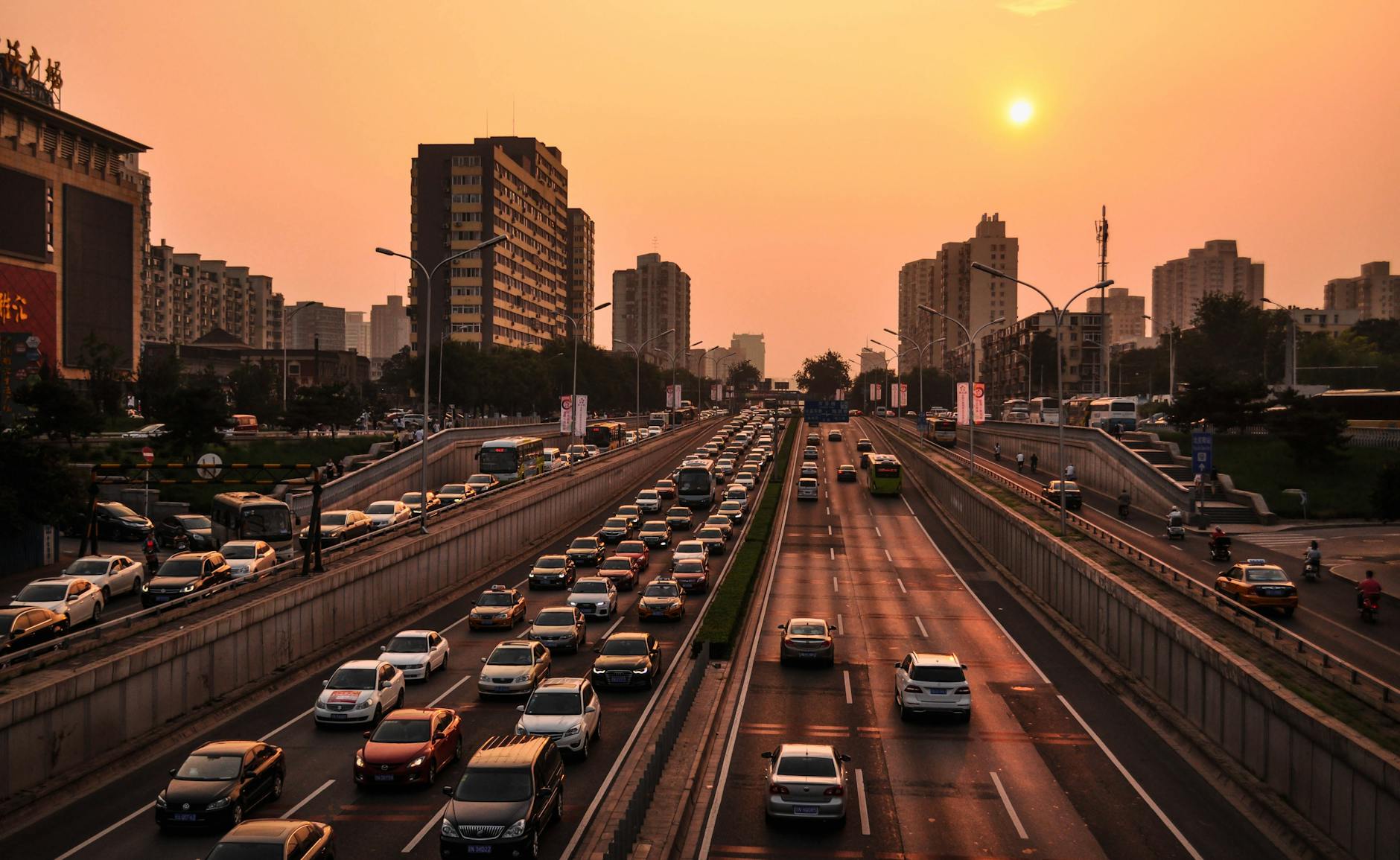
    vehicle in road at golden hour
    Photo by Pixabay on Pexels.com

    Cars (and other motor vehicles), in the way we’ve designed and built cities these days, are typically the most convenient and flexible way to get places. The key here is to think about how monumental a task it has been to get out of the way of cars to have that be the case. Cars are not convenient and flexible inherently, it’s because cities have been doing socioeconomic gymnastics for decades making sure cars are king.

    Look at any suburban neighborhood with an eye for how much space we set aside almost exclusively for motor vehicle use. The easiest way to see this is to look for parking lots, which are really easy to see in satellite view because they’re extremely empty the vast majority of them, and they typically reflect a lot of light, so they are nice and bright from above. But one must also consider garages, where cars live for an incredible majority of their lives (think about how many hours you drive in a typical day, the rest of that time your car is in a garage or a parking lot). Another important space taker in the suburbs is driveways, which can easily take up even more space than a garage in terms of square footage. Some residents use their driveways for hockey or basketball or chalk drawings, but a lot of the time it’s just the place your car lives or the way your car gets to the garage.

    So far, I haven’t even brought up streets and roads yet. Despite the fact that in the suburbs, only a very very small percentage of road space is actually used by cars at any given moment, to venture there outside a car is considered extremely dangerous. We teach our kids to be on high alert when they have to cross even the street we live on, because at any moment a car could basically appear and take precedence as road users, despite the fact that (again) there is no sidewalk.

    Now that we’ve spent a little time talking about just how much work we have done to ensure that cars have the absolute priority in transportation almost everywhere, we can talk about how frail car supremacy actually is. Cars are flexible and convenient for everyone, up to and until everyone actually tries to express this freedom all at the same time. This leads to a little discussed phenomenon called ‘traffic’, and it is the main way in which arguments for car-dependent culture fall completely flat for me.

    The reason I created a website called lesscar.ca last year is that it is a unifying idea. If you’re driving to work and moving 5kph on the highway, the idea of “less car” is super appealing. If you’re downtown looking for parking and spend 15 minutes circling the block to park and get to a restaurant, in that moment what you want is less car. When you are trying to head home after a football game at Lansdowne and stuck behind a lineup of 300 cars trying to leave the parking lot, would you prefer there to be more car, the same amount of car, or less car. The choice is obvious to all of us in those cases, but the same arguments can be applied to almost every situation.

    In an ideal world with no changes to the way our cities are laid out, any sane person would want to be the only one driving. Why wouldn’t you want a transportation system that is designed perfectly for your use case and your use case alone, and why can’t other people stop using it so much. I hope this is obvious, but people want to go to places that are nice, and if places are nice, people want to go there. If you want to go somewhere, other people are probably also going to want to go as well. Cars scale just terribly, they are good for going somewhere that has mainly straight or gently curving lines along the way, and they do best with a lot of open space around them.

    Cars are not maneuverable, they cannot change size, shape, or direction easily, and they have to go somewhere when you’re not using them. When you are in a car, you cannot see anything except what’s right in front of you. A modern car from the driver’s perspective is mostly blind spots, with some affordances to try to help you determine whether anything is occupying that space around you. The very first time I drove an SUV, it was a rental car and I absolutely hated it. At the time, I was mainly getting around on a bike or by bus, both of which have great visibility (and in a bus, only a single person actually needs to concern themselves with what’s going on around the vehicle). I sat down in the rental, and realized that on this trip, I wasn’t going to be able to see…anything… Sure, I could see out the front windshield fairly easily, as long as I didn’t want to look up or down, but a shoulder check in a vehicle like this shows you basically nothing.

    Cars are by far the most isolating form of transportation. There are an extremely small number of ways to communicate with other drivers. You have: 2 turn signals, brake lights, 4-way flashers, flicking your headlights on and off, and a couple of hand gestures if you happened to be moving at low relative speed with respect to another driver so there is any way they can see your hands, and of course the car horn.

    The horn is by far the funniest to me, because it is the most ambiguous communication signal in the entirety of human existence. Imagine going on a first date except you can’t talk or gesture or signal anything, each of you just has a button to facilitate communication. It would be completely useless. Now imagine the restaurant you’re having this date at is full of couples with buttons and anytime one is used you have to also figure out if it was your date who actually pushed it. I’d watch that dating show, except no I wouldn’t because as funny as it would be for a few minutes, it would be so painful.